
Reference:
http://wiki.openstreetmap.org/wiki/ Slippy_map_tilenames#Zoom_levels
Brief overview:
OSM tiles are 256x256 pixel PNG files.
Filename (URL) format is http://tile.openstreetmap.org/zoom/x/y.png
where
zoom=zoom-level-integer (from 0 to 19),
x=longitude-locator-integer (non-negative column number),
y=latitude-locator-integer (non-negative row number).
In the link above, see sample code to calculate x and y for a given zoom-level and a given latitude and longitude.
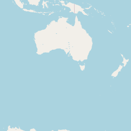
The following Earth map is done with
an OSM map tile at OSM zoom level 0.
Each OSM tile is a 256x256 pixel PNG file.
There is one zoom-level-0 tile, which is
one image of most of the Earth.
|
|
The following Earth map is done with
OSM map tiles at OSM zoom level 1.
Each OSM tile is a 256x256 pixel PNG file.
Each zoom-level-1 tile is one image of
2^1 x 2^1 = 2 x 2 = 4 images
which are used by OpenStreetMap to
cover most of the Earth.
These zoom-level-1 tiles go from
x-numbers 0 to 1. (2 columns)
These zoom-level-1 tiles go from
y-numbers 0 to 1. (2 rows)
Total: 2 x 2 = 4 tiles
Image width: 2 x 256 = 512 pixels
Image height: 2 x 256 = 512 pixels

|

|
|
|
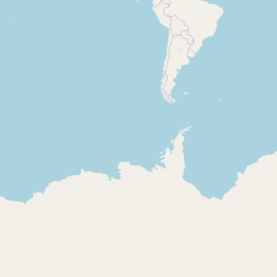
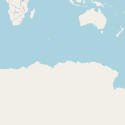
The following Earth map is done with
OSM map tiles at OSM zoom level 2.
Each OSM tile is a 256x256 pixel PNG file.
Each zoom-level-2 tile is one image of
2^2 x 2^2 = 4 x 4 = 16 images
which are used by OpenStreetMap to
cover most of the Earth.
These zoom-level-2 tiles go from
x-numbers 0 to 3. (4 columns)
These zoom-level-2 tiles go from
y-numbers 0 to 3. (4 rows)
Total: 4 x 4 = 16 tiles
Image width: 4 x 256 = 1024 pixels
Image height: 4 x 256 = 1024 pixels
|
|
|
|

|

|

|

|

|
|
|
|

|

|

|
|
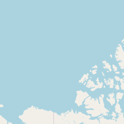
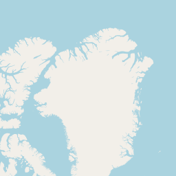
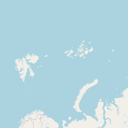
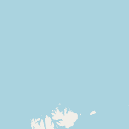
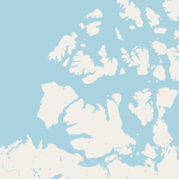
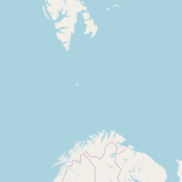
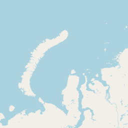
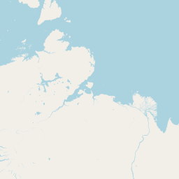
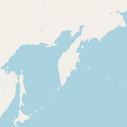
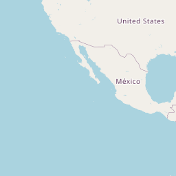
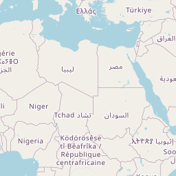
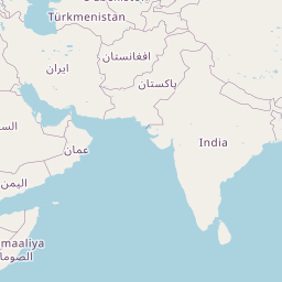
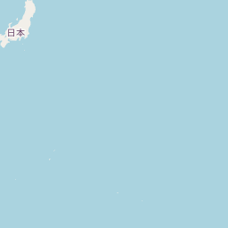
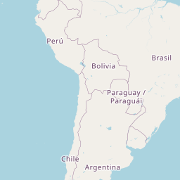
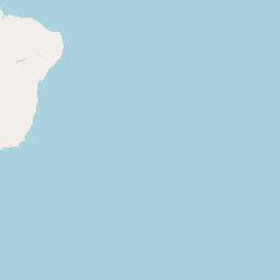
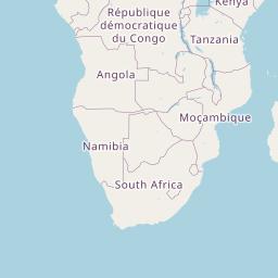
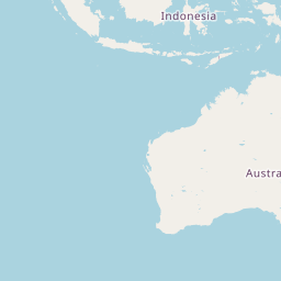
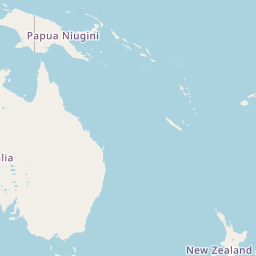
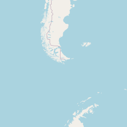
The following Earth map is done with
OSM map tiles at OSM zoom level 3.
Each OSM tile is a 256x256 pixel PNG file.
Each zoom-level-3 tile is one image of
2^3 x 2^3 = 8 x 8 = 64 images
which are used by OpenStreetMap to
cover most of the Earth.
These zoom-level-3 tiles go from
x-numbers 0 to 7. (8 columns)
These zoom-level-3 tiles go from
y-numbers 0 to 7. (8 rows)
Total: 8 x 8 = 64 tiles
Image width: 8 x 256 = 2,048 pixels
Image height: 8 x 256 = 2,048 pixels

|
|
|

|
|

|

|

|

|
|

|

|
|
|
|

|

|

|

|

|

|

|

|
|

|
|

|

|
|
|

|
|

|

|
|
|
|

|
|
|

|

|
|

|

|

|

|
|

|

|
|

|

|
|

|
|

|

|

|

|

|

|

|

|
NOTE:
With each additional zoom-level,
the number of OSM tiles that
cover the Earth goes up
a factor of 2 x 2 = 4.
Since the circumference of the Earth
is 40,075.16 kilometers (24,901.55 miles),
for OSM tiles at the equator, the width
of each tile represents:
  40,075.16 kilometers (24,901.55 miles) at OSM zoom-level-0
  20,037.58 kilometers (12,450.77 miles) at OSM zoom-level-1
  10,018.79 kilometers ( 6,225.39 miles) at OSM zoom-level-2
   5,009.40 kilometers ( 3,112.69 miles) at OSM zoom-level-3
   2,504.70 kilometers ( 1,556.35 miles) at OSM zoom-level-4
   1,252.35 kilometers (   778.17 miles) at OSM zoom-level-5
     626.17 kilometers (   389.09 miles) at OSM zoom-level-6
     313.08 kilometers (   195.54 miles) at OSM zoom-level-7
     156.54 kilometers (    97.27 miles) at OSM zoom-level-8
      78.27 kilometers (    48.64 miles) at OSM zoom-level-9
      39.14 kilometers (    24.32 miles) at OSM zoom-level-10
      19.56 kilometers (    12.16 miles) at OSM zoom-level-11
       9.78 kilometers (     6.08 miles) at OSM zoom-level-12
       4.89 kilometers (     3.04 miles) at OSM zoom-level-13
       2.45 kilometers (     1.52 miles) at OSM zoom-level-14
       1.22 kilometers (     0.76 miles) at OSM zoom-level-15
       0.61 kilometers (     0.38 miles) at OSM zoom-level-16
        305 meters     (      334 yards) at OSM zoom-level-17
        153 meters     (      167 yards) at OSM zoom-level-18
         76 meters     (       83 yards) at OSM zoom-level-19
   (a little less than the length of a fusbol/football field)
To construct the table above,
we took half of the previous width
at each zoom-level.
Page was created 2016 Nov 01.
Page was changed 2018 Jul 08.
(Added 'meta' info for this web page.)
Page was changed 2019 Jan 11.
(Added css and javascript to try to handle text-size
for smartphones, esp. in portrait orientation.)
Page was changed 2019 Feb 10.
(HTML changes due to reorg of OSMmaps.)